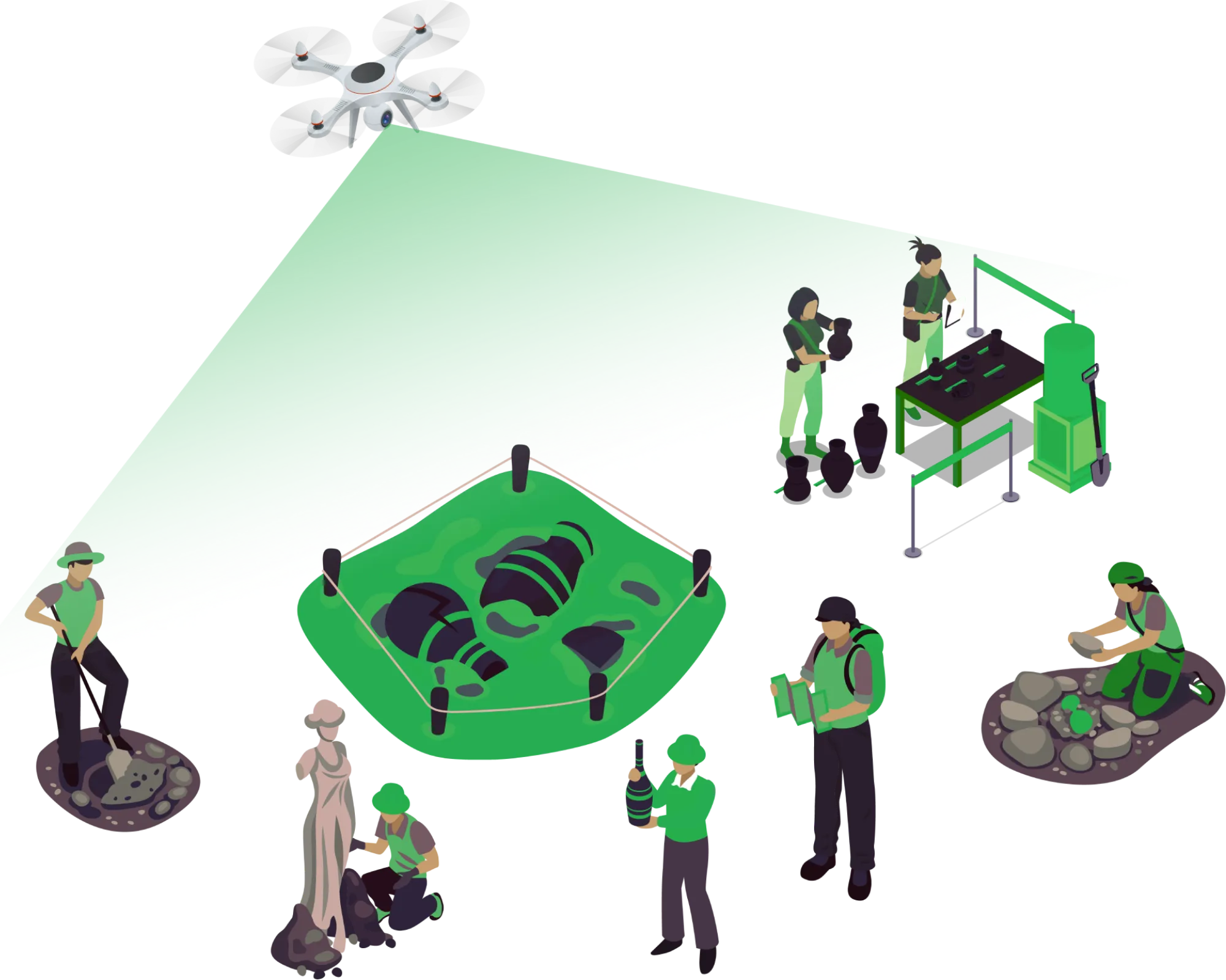
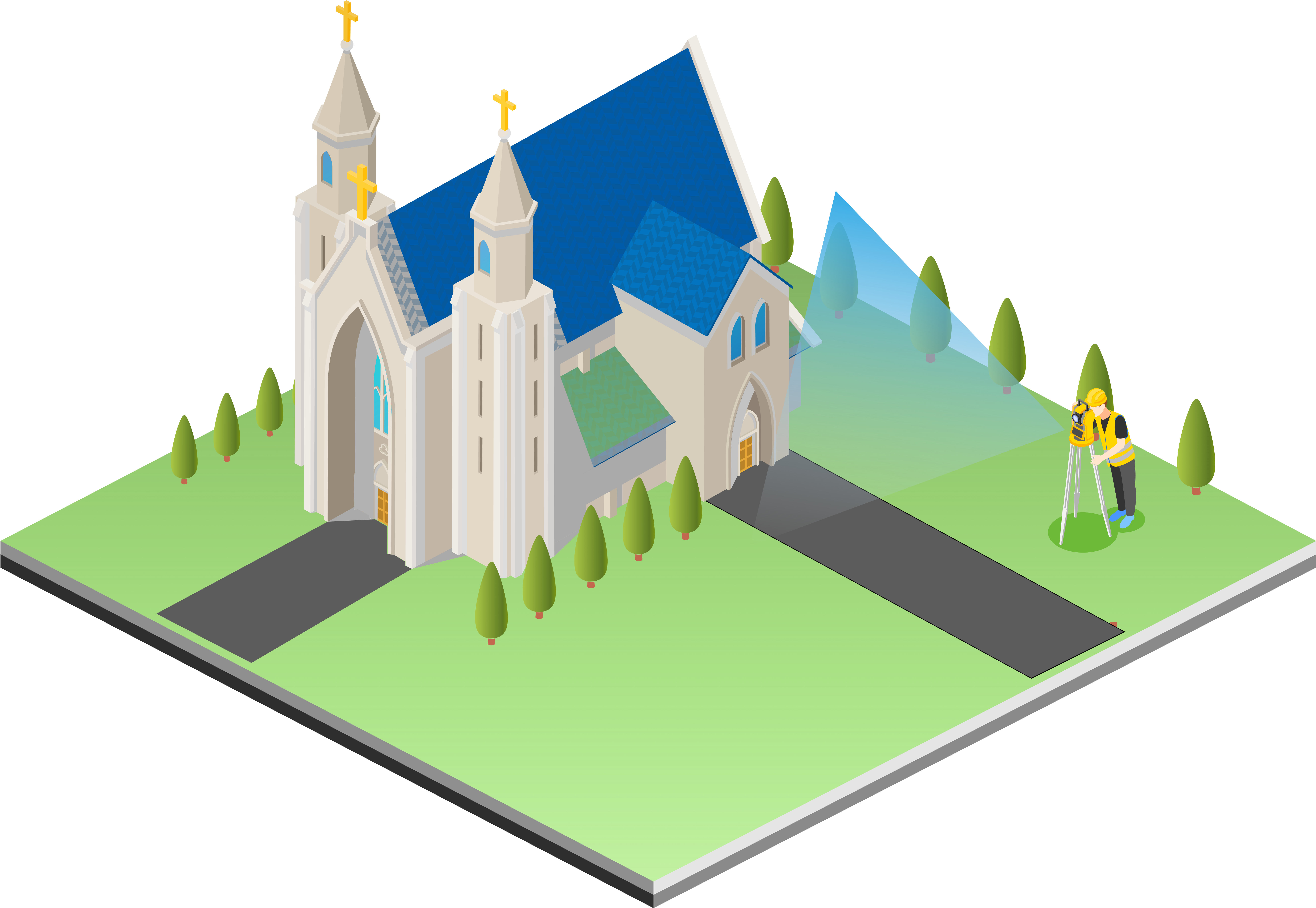
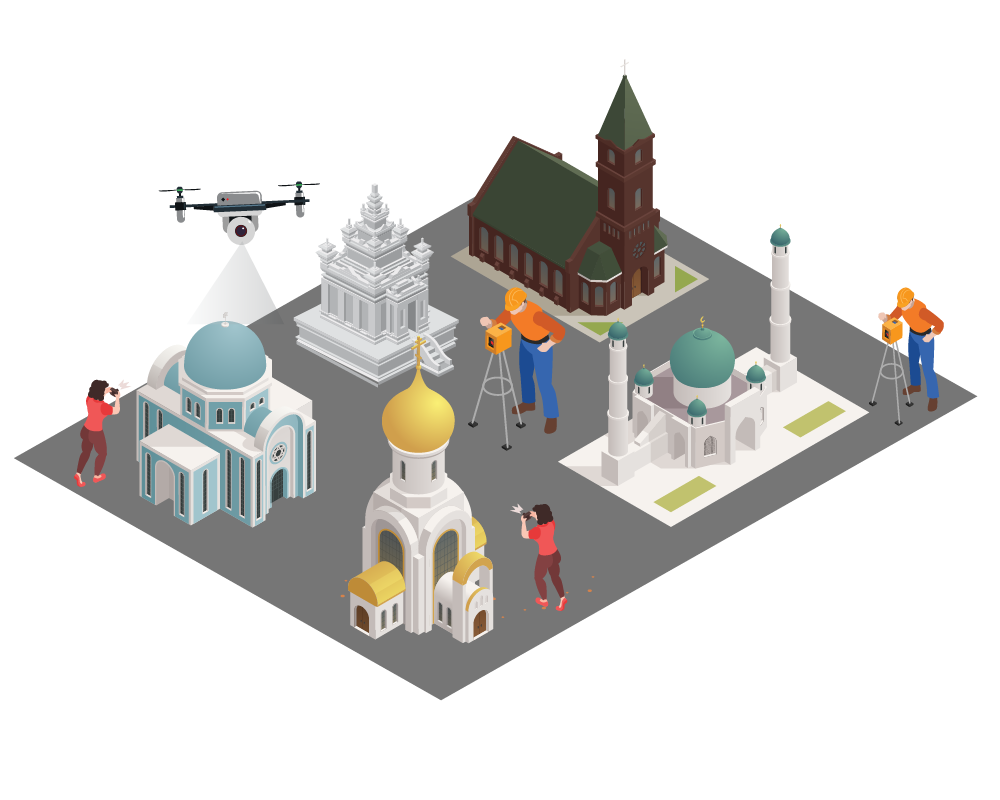
Aerial services for archaeology

We strive for having a significant impact on archaeology by providing efficient, cost-effective tools for data collection, mapping, and documentation. Through our software-based aerial services, we have the capability to capture high-resolution images, 3D models, and maps, enabling researchers to document features, topography, and changes over time.

Get in Touch
SURVEY & MAPPING

Explore Our Software Based Services

SURVEY & MAPPING

Survey & mapping

  • Topographic Survey & Mapping
  • Benchmarking using DGPS
  • High-resolution photos and 4K video
  • Superimposition of Cadastral map
  • DEM/DTM/DSM generation
  • Boundary demarcation: Protected, Prohibited, Regulated Zone
  • GPR Survey

Lidar scanning & photogrammetry

  • Airborne LiDAR
  • Terrestrial LiDAR
  • Building Information Modelling (BIM)
  • 3-D Modelling
  • Zone demarcation
LIDAR SCANNING & PHOTOGRAMMETRY
MONITORING OF SITES

Monitoring of sites

  • Locating archaeological/heritage/monument sites
  • Protection of the archaeological site
  • Assessing damage to ancient sites
  • archaeological recording of excavated features
  • Encroachment studies
  • Illegal construction
  • Progress Monitoring of Excavation site

Reports & plans

  • LOD 1, LOD 2, LOD 3 Modelling
  • Conservation plan
  • Monitoring and Maintenance plans
  • Site Management Plans
  • Landuse/Landplan
  • Detailed Project report
  • Structural Audit Report
REPORTS & PLANS

BLUEHAWK: Monument Information System

BlueHawk is an AI-powered Enterprise Drone & GIS based web Platform which transforms aerial data into actionable insights. BlueHawk helps enterprises at every step from data acquisition to data-driven action. BlueHawk provides a digital platform for a complete life cycle of a project i.e, survey & mapping, construction progress monitoring, inspection, surveillance, O&M services and perform various analytics With the help of our platform, we can develop & maintain Digital library of Archaeological, Heritage and Monument sites and Surveillance System, which includes:

  • Automated Mission Planning
  • Real-time data synchronisation to cloud
  • Drone/Lidar data visualization
  • 3-D data visualization
  • High quality 4k Video playback
  • Assets Geo-tagged
  • Fully Automated Maintenance and Planning
  • Volume calculations
  • Timewise Before / After layers for subsequent survey
  • Excavation monitoring system
  • Potential visitor amenities along with photo documentation
  • Role based access control
  • Automatic Report Generation

Clientele