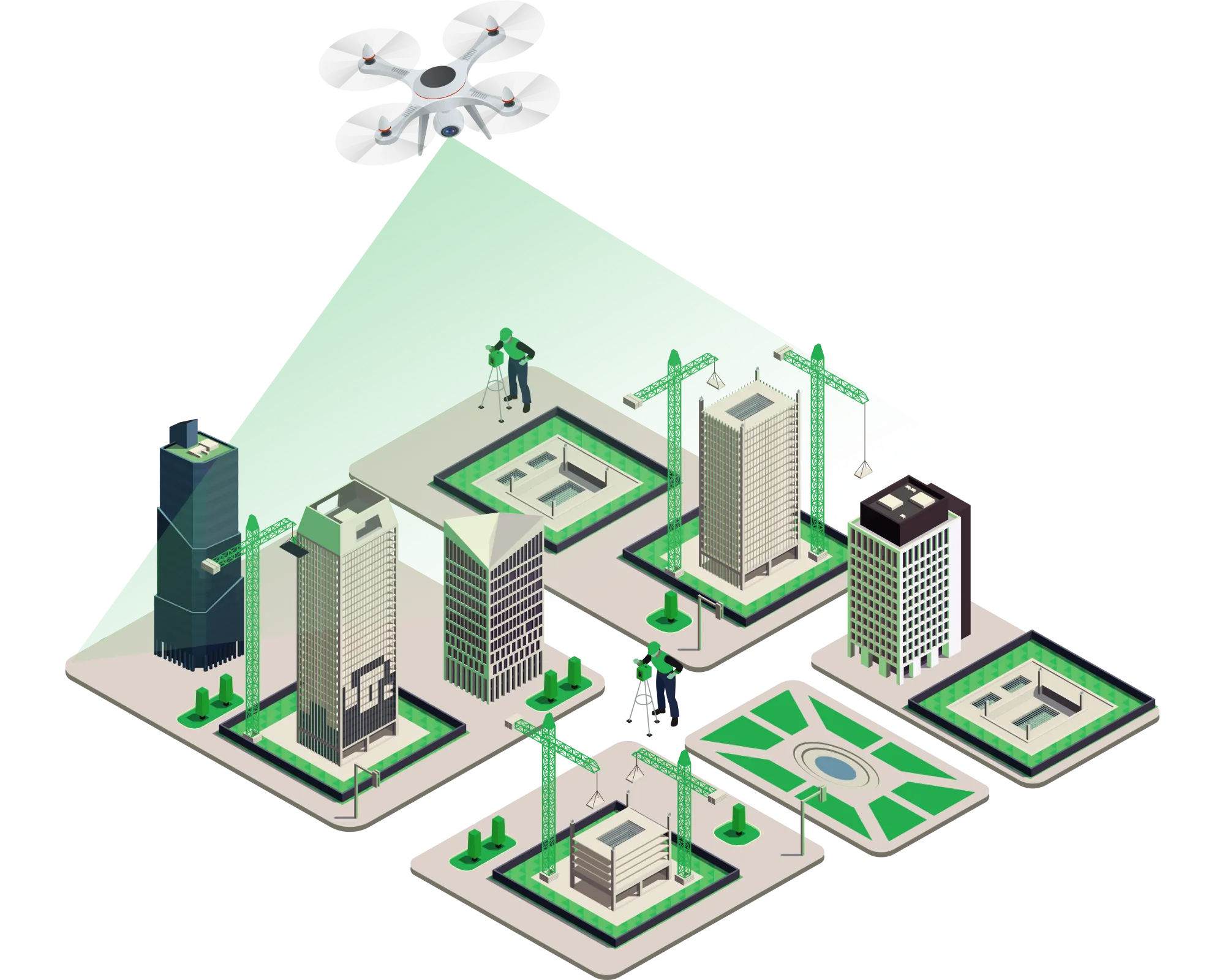
Aerial Services ForUrban Planning

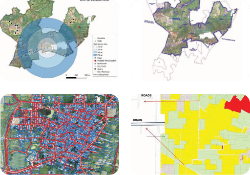
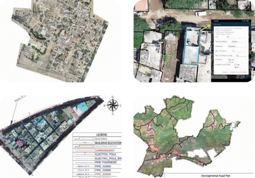
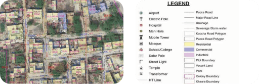
We employ software-led equipment for aerial surveying, mapping, 3D modeling, property tax collection, environmental monitoring, infrastructure inspection, traffic analysis, emergency response, disaster management, public engagement, solar potential assessment, archaeological site mapping, and urban surveillance. They enhance transportation planning, public engagement, solar potential assessment, and urban surveillance.

Get in Touch
GIS based Survey & Mapping

Explore Our Software Based Services

GIS based Survey & Mapping

GIS based Survey & Mapping

  • Topographical Survey
  • Slum based socio economic household survey
  • Multipurpose household survey
  • Landuse Landplan survey
  • Street vendor’s survey
  • Aerial survey
  • Lidar survey
  • Urban Sprawl
  • Tree Census
  • Identification of Unauthorize colonies
  • Illegal Construction Supervision
  • Encroachment analysis
  • Corridor Mapping

City planning & urban fabrication

  • PMC & DPR work
  • Master Plan & Development Plan
  • Property Tax Management
  • Landuse Landcover Mapping
  • Cadastral map superimposition
  • Land dispute Resolution
  • Spatial Zone Identification
  • Suitable site selection
  • Landuse Selection & Allocation Process
  • Slum free city Plan
  • Street Vending Plan
  • Smart City Planning
  • Waste Management
  • 3-D Modeling
City planning & urban fabrication
Utility Networks & Planning

Utility Networks & Planning

  • Water supply
  • Sewerage
  • Storm Water Drainage
  • Traffic and Transportation
  • Street Lighting
  • Drainage
  • Solid Waste Management

Progress Monitoring

  • Implementation of SOPs
  • Project Scrutiny via KPI
  • Evolution of Potential Obstacles
  • BIM Modelling
  • Construction Monitoring
GIS based Survey & Mapping

Clientele