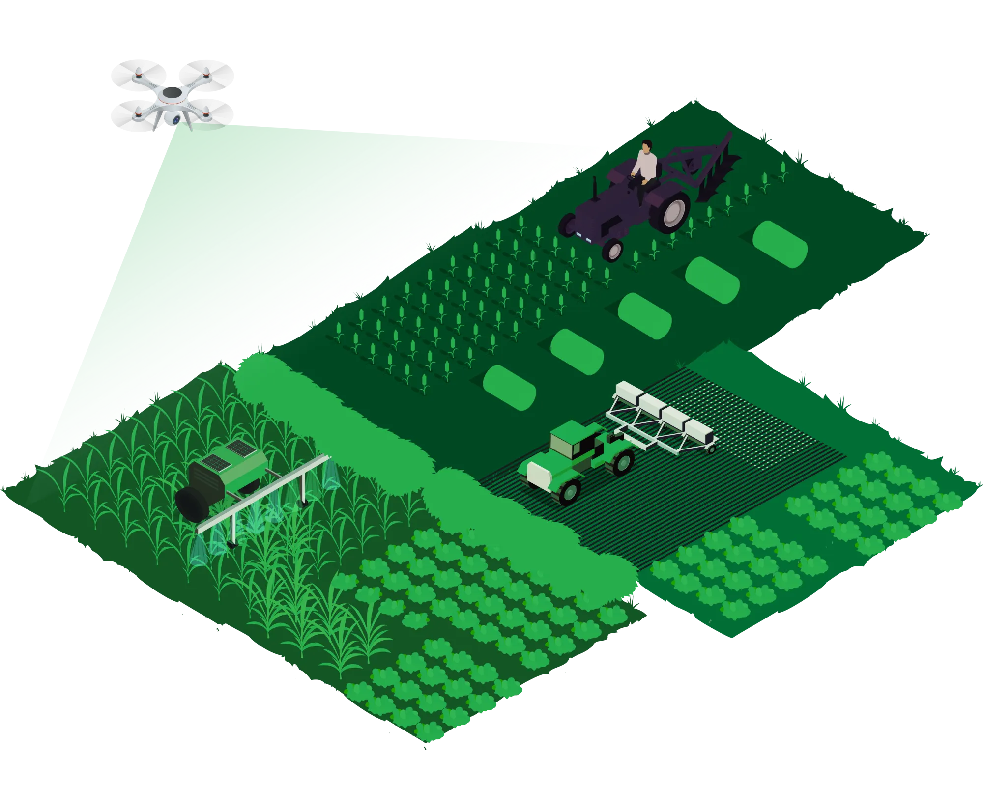
Aerial Services for Water Resource & Irrigation

We offer aerial surveys, irrigation system monitoring, crop health assessment, water quality analysis, dam and reservoir inspection, watershed management, diversion headworks inspection, flood monitoring, early warning systems, etc. amongst others.

Get in Touch
IRRIGATION COMMAND AREA SURVEY

Explore Our Software based Services

IRRIGATION COMMAND AREA SURVEY

Irrigation command area survey

  • Topographical Survey for Irrigation Command Area
  • Canal Command Area Analysis
  • Reservoir Survey
  • Route Alignment Survey for Canal
  • Land Use and Land Planning
  • Canal Water Spread Analysis
  • Flood Analysis or Inundation Model
  • Aerial Inspection
  • 3D Canal Reconstruction Model
  • Identification of the cropping pattern
  • Crop types under the Command Area
  • Productivity Estimation Models
  • PMC and DPR Work

Irrigation command area inspection

  • irrigation Monitoring and Planning
  • Drainage Planning
  • Erosion Assessment
  • Crop Health Monitoring and Surveillance
  • Crop Damage Assessment
  • Field Soil Analysis
  • Canal Moisture Analysis
  • Canal Slope Management
  • Canal Inspection
  • Infrastructural Inspection
  • Crack Analysis
  • Internal Damage analysis
  • Water Capacity Assessment of the Catchment
  • Riverbed Profile Data was collected using laser-based Echo sounding technology/ instrument
  • Surface Model of the link Canal Area
IRRIGATION COMMAND AREA SURVEY
Water resource services

water resource services

  • Soil Moisture Analysis
  • Watershed Area Management
  • River Ecosystem Restoration
  • Orthomosaic Map

Project Progress Monitoring

  • Implementation of SOPs with integrity
  • Project scrutiny via KPI
  • Evaluation of Potential Obstacles
  • 3D/BIM Model/Point Cloud-based Monitoring
Water resource services

Powered drone platform to ease industrial use cases.

BlueHawk is an AI-powered Enterprise Drone Platform which transforms aerial data into actionable insights. BlueHawk helps enterprises at every step from data acquisition to data-driven action.
BlueHawk provides a digital platform for a complete lifecycle of a project i.e., survey & mapping, project progress monitoring, inspection, surveillance, O&M services and perform various analytics
With the help of our platform, we can develop & maintain Irrigation Digital Transformation and Surveillance System, which includes:

  • Automated mission planning
  • Real-time data synchronization to cloud
  • Geo-tagged asset mapping
  • ML and AI-powered crop and soil moisture analysis
  • Flood inundation modelling
  • Maintenance alerts & notifications
  • Fully automated O&M and planning
  • Automatic report generation & sharing, Base map creation

Clientele