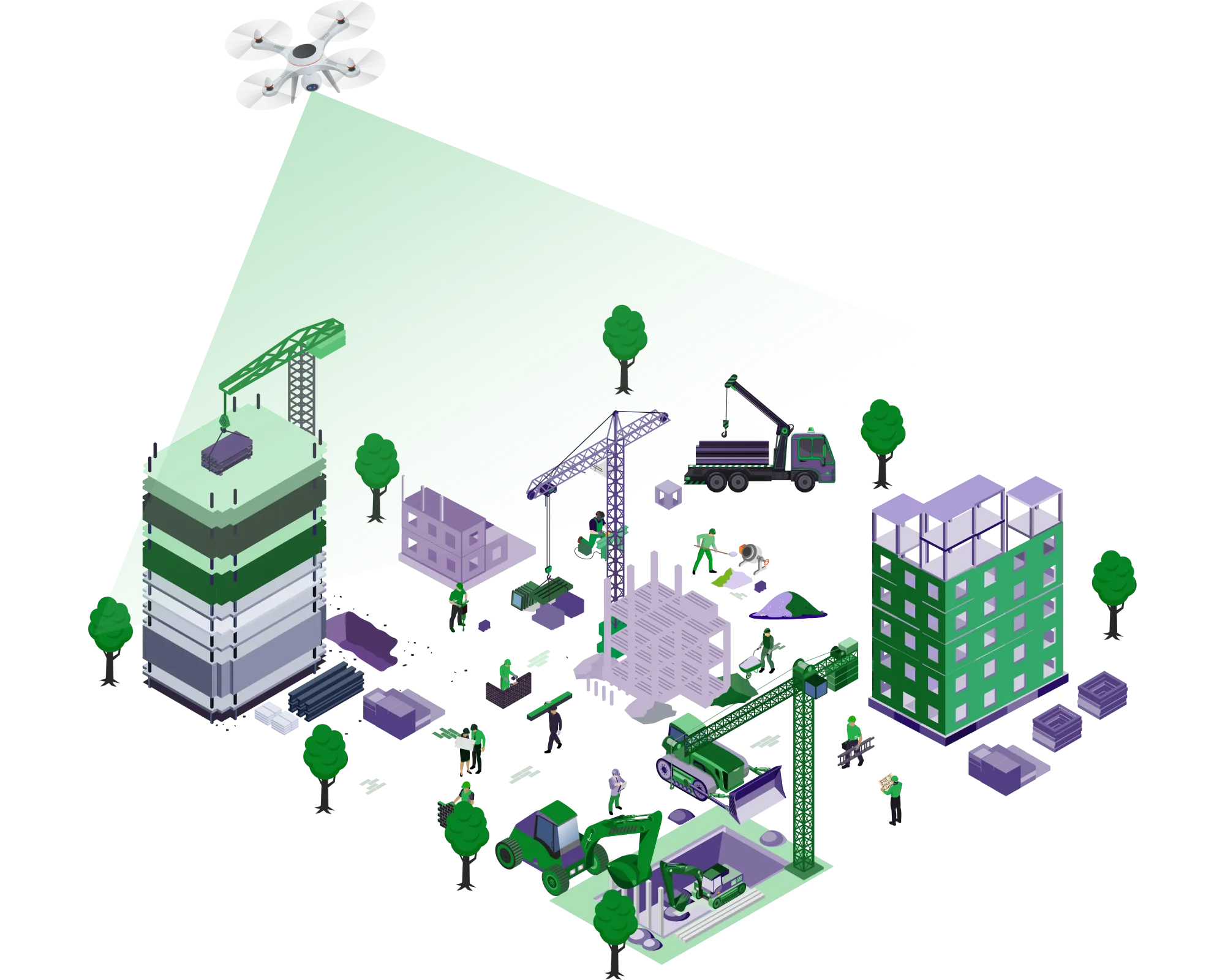
Add a new dimension to construction projects.

From greenfield topography mapping to periphery setting, alignment fixing for roads & utilities, progress monitoring during construction to even surveillance, we offer precise and timely actionable insights for your execution team.

drone-construction

Pre-construction

  • Topographical surveys
  • Land use profiling
  • Encroachment mapping
  • Vegetation cover mapping
  • 2D and 3D modelling
  • DEM, DTM, DSM as required
  • Town planning data acquisition

Construction

  • Change detection
  • Progress monitoring
  • Surveillance
  • Volumetric estimations

Post-construction

  • Traffic route planning
  • People movement analysis
  • Smart city planning
  • Emergency first responders
  • Integrated maintenance workflows

Actionable Aerial Intelligence

  • Automated mission planning
  • Real-time data synchronisation to cloud
  • Geo-tagged asset mapping
  • AI-powered fault annotations
  • Online fault & asset search ability
  • Maintenance alerts & notifications
  • Fully automated O&M
  • Automatic report generation & sharing
drone-deliverables

Get to know BlueHawk better!

BlueHawk blends industry-leading workflows with proprietary AI models to automate maintenance, inspection and monitoring tasks.

  • Automating manual inspections
  • AI-powered anomaly and fault detection
  • Actionable intelligence & comprehensive reports

Our Clientele

Let's connect

Get in touch with us to discuss a project, an innovative use case or quite simply, all things drones!

Assotech Business Cresterra: Unit NO 910 to 913, Floor 9th, Tower 2, Plot No 22, Sector 135, Noida, Uttar Pradesh 201304

+91.782.797.2197 | +91.782.797.2192

sales@garudauav.com

contact

Let's talk