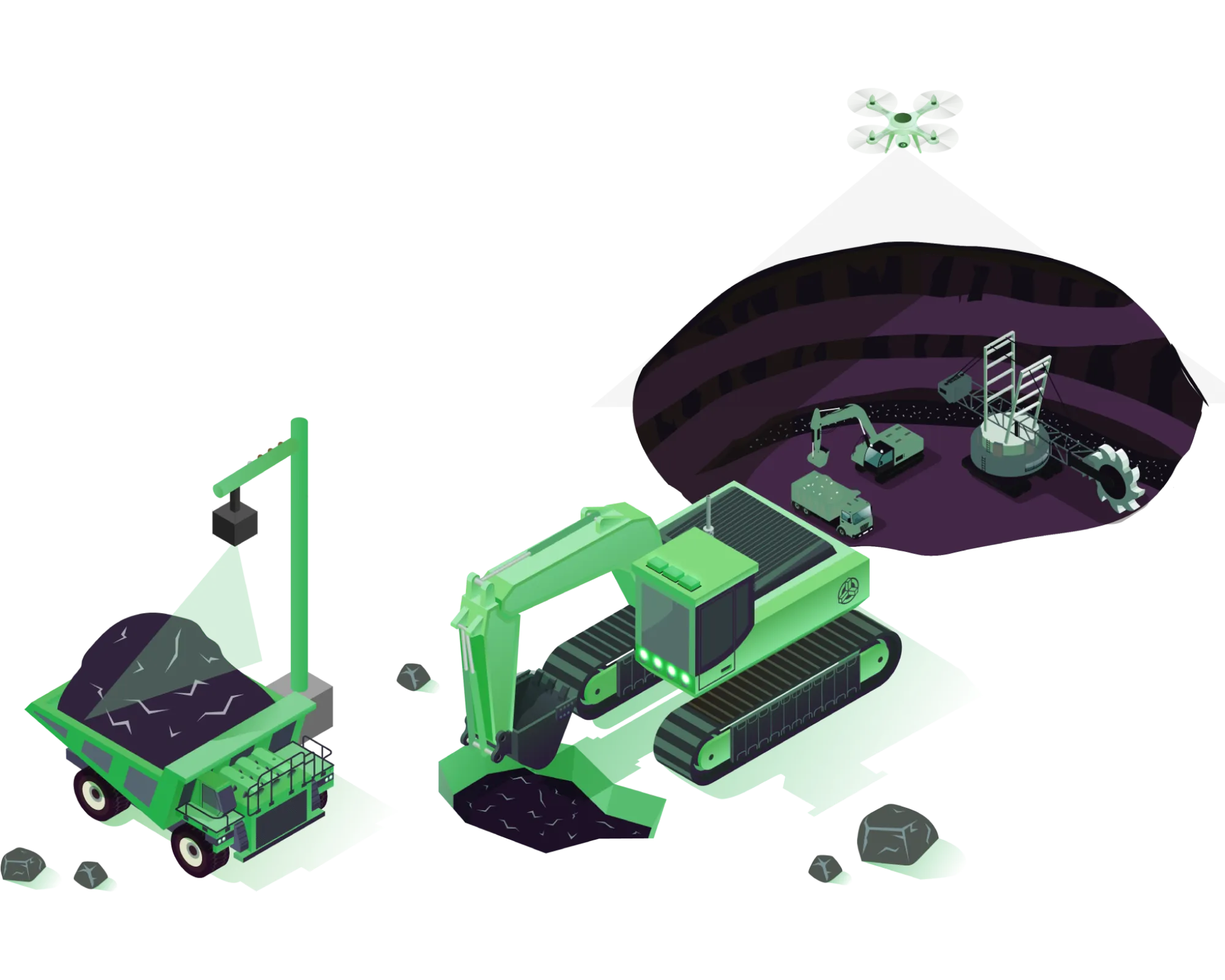
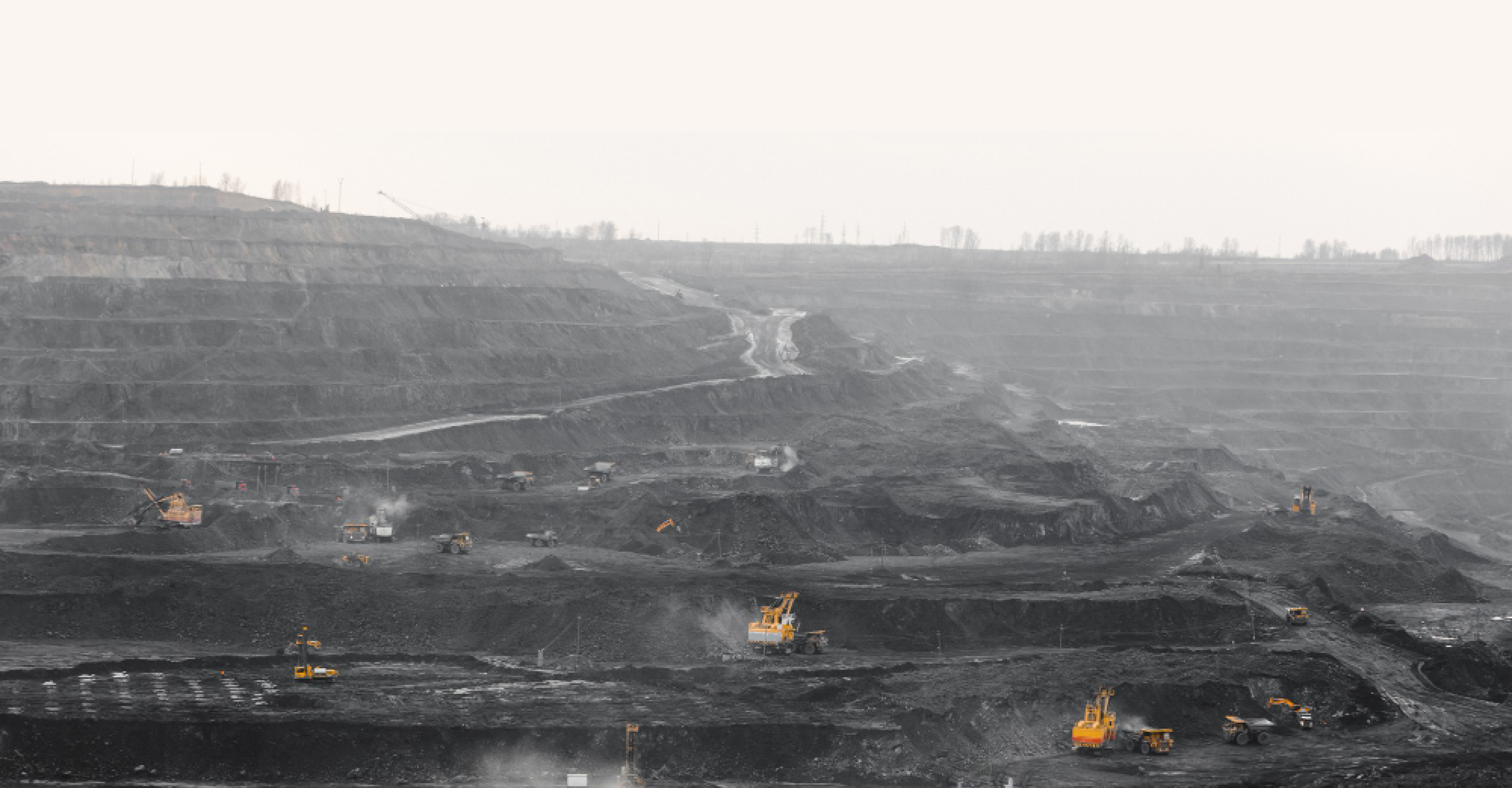
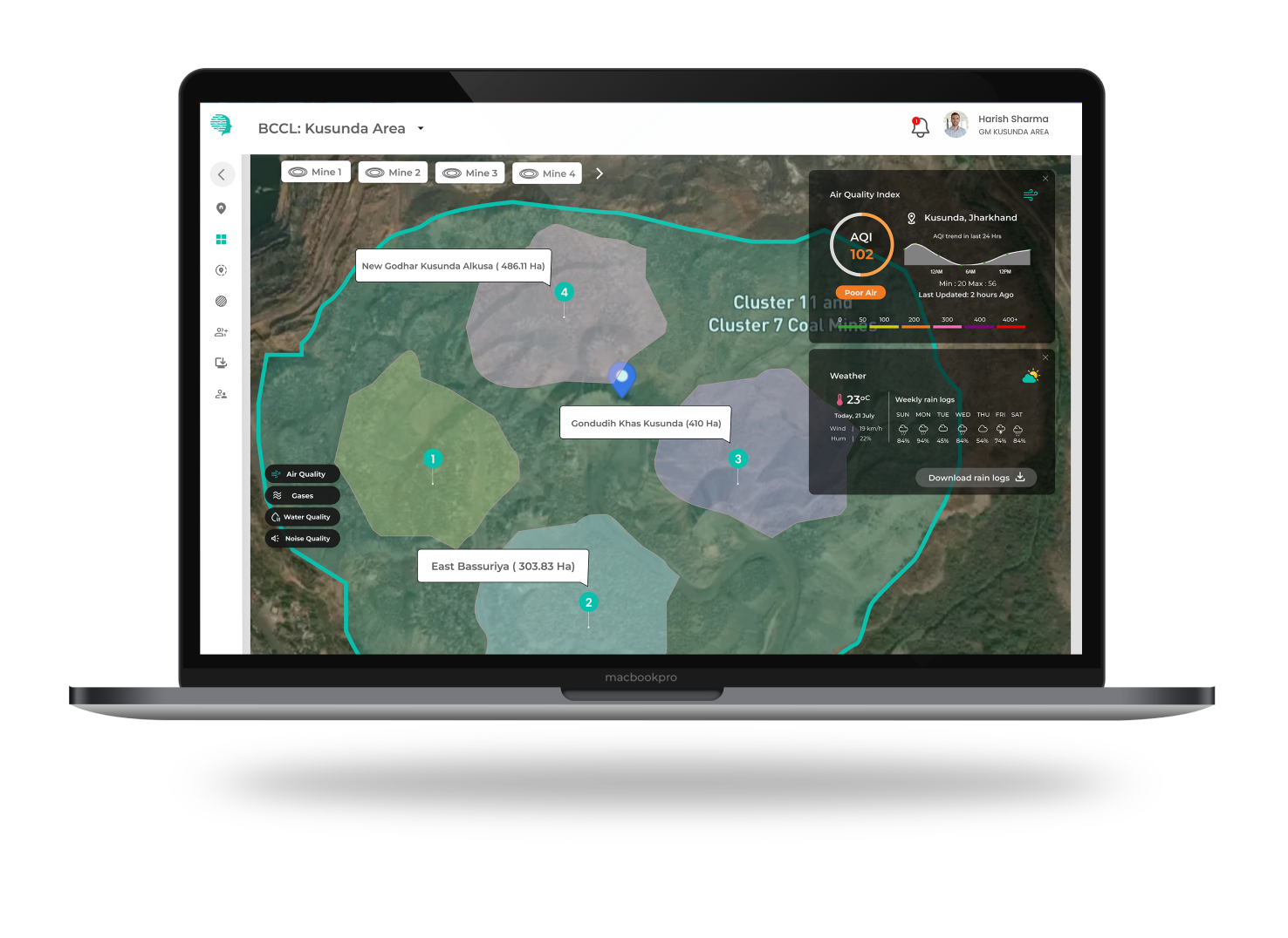
Aerial Services For Opencast Mining
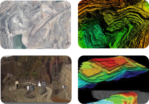
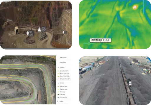
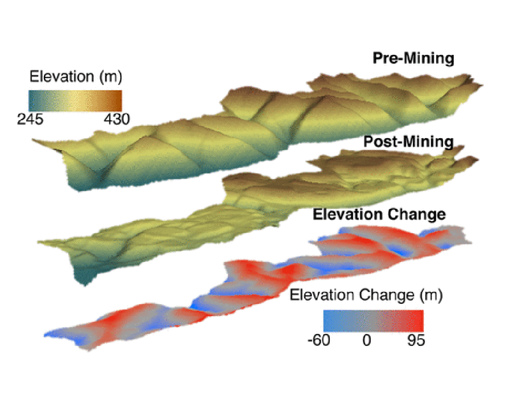
We offer real-time quarry monitoring, stockpile volumetric estimation/physical verification, inventory management, O&M, haul road mapping, water & sediment flow, etc as a part of AI/ML-based advanced mine analytics as a software-based aerial service solution. These features contribute to mining-related hazard identification & mitigation.
Get in Touch